Setting your SWAT CAM Background Map Layer (Mobile)
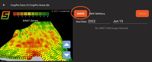
To change the background map in the view window, select Maps next to the map window.
For background maps you can select from any of the map layers in your File Sync directory. Including elevation, Drainage, prescription, and SWAT MAPS.
It will default to your selected SWAT MAP.

There are a number of maps that may be generated based on your SWAT CAM imagery. Individual set of maps will be generated for each sprayer operation. Allowing you to view separate maps for each pass of the sprayer. (Early, Mid, Late stage plant growth)
See here for more information on: Understanding your SWAT CAM Data
Next Step: Viewing SWAT CAM Map Layers